How to Hike Mount Mitchell: A Simple Guide for Beginners
When I visited Asheville, North Carolina, I did something I never thought I’d do. I decided, pretty much on a whim, to hike the Mount Mitchell trail.
If you know anything about hiking in the Asheville area, you know that this hike has a reputation. At 6,684 ft. Mount Mitchell is the highest peak east of the Mississippi River. Locals refer to it as “the big one.” And I was an absolute beginner.
I was going to hike roughly 6 steep, quad-burning miles to the summit and 6 miles back down, knowing next to nothing about hiking.
Oh, and it rained almost all day on the day I picked. But I didn’t let that stop me!
So if you’re wondering, is the Mount Mitchell hike safe for beginners? My answer is, yes – IF you’re physically fit enough to hike 12 miles.
When I did this hike, my prior hiking experience was limited to a fewer short trails (5 miles and under) in the Asheville area and in California. It was my 10thish hike ever.
It’s not super technical–there’s some rock scrambling toward the end and you’ll rock hop across a waterfall, but nothing too crazy. It’s steep and challenging but well-marked and doable for a beginner.
So fellow nature lovers, I’ve put together a guide for you on how to hike Mount Mitchell, a.k.a. “the big one,” even if you’re a beginner like me. You don’t have to make the same mistakes I did!
Preparing for the Mount Mitchell Hike
Essential info
Distance: 11.2 miles
Elevation gain: 3690 ft
Difficulty: Moderate
Duration: ~7 hours
Route type: out and back
Dog friendly? Yes! Dogs must be on leash
Trailhead Location: Black Mountain Campground, 35° 45′ 9.7999″ N 82° 13′ 16.1101″ W. Map
Parking: Parking lot
AllTrails link
Why would anyone even want to do this hike?
2 reasons:
Bragging rights. I mean, it’s the highest peak on the East Coast! Your friends will be impressed.
The challenge. Who doesn’t love to challenge themselves sometimes? And what a great way to do it. This steep, difficult hike will set your quads and calves on fire for nearly 12 miles. But if I can do it, so can you!
What should I expect?
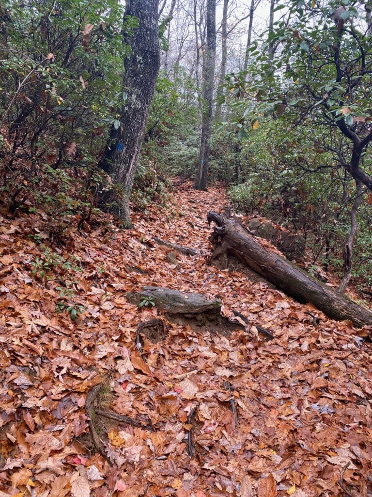
Expect a steep terrain with lots of tree roots. Watch your step for roots and beware of wet leaves hiding them. Also, don’t forget to look up for low-hanging branches. Don’t get hurt like I did–more on that later.
Expect that the hike will take the better part of a day (8 hours for me in the rain, roughly 7 on average).
Expect bears. Black bears are not usually aggressive, but be alert. I didn’t see any bears all day, which was both a disappointment and a relief.
Expect a disappointing view at the summit. Visibility may be limited due to the clouds unless you choose a rare clear day. This is not a hike you do for the summit views.
Expect not to see many great views along the trail either. Most of the hike is wooded with very few overlooks.
It will change with the season, but really, the pic below is going to be your view pretty much the entire time, give or take some leaves:
Where is Mount Mitchell?
It’s about 30 miles northeast of Asheville, NC within the Black Mountain range just off the Blue Ridge Parkway. Most people who visit drive to the top, but we’re not “most people” around here!
Should a beginner hike Mount Mitchell?
Yes, the trail is maintained, well- marked, and easy to follow. However, it is steep, and the terrain has a lot of roots and rock scrambles. Plus wet leaves in the fall can make it slippery, and there will be ice in the winter. I would not recommend it for beginners in the winter.
There’s a shuttle service you can book here. If you’d like, you can hike up and take a shuttle back down and save yourself a little knee pressure. There’s a small fee for the shuttle, and you have to schedule at least a day in advance.
It’s important to remember that you can take as many breaks as you need and go at your own pace. But you want to arrive early. You don’t want to end up hiking in the dark, like I did.
Is it safe for solo hikers?
Yes. Even though it’s tough, it’s still a popular hike. There will be people around so that if you do need help, someone will come along. However, for most of it you’ll be in peaceful solitude, which is quite relaxing compared to some of the more touristy trails in Asheville. Do tell someone where you are beforehand.
When is the best time to hike Mount Mitchell?
Fall. Summer and spring are good too, but the fall foliage is gorgeous and the temperature is perfect. Dress in layers and add and peel as needed.
The only downside to hiking in the fall is that the fallen leaves can get wet and slippery.
What should I bring?
I met a couple along the trail who were carrying only water bottles. So you could do this hike pretty barebones I guess, but personally I’d have been miserable. I need my snacks. Here’s my recommended packing list:
Hiking boots. This is the one thing you can’t skip. The terrain can be slippery, and as I said, there are a lot of roots. Waterproof ones are best.
A day pack. Preferably an actual pack meant for hiking. I used a stuffed-full backpack purse–the same one I was carrying on a day-to-day basis as my actual purse. I didn’t bother to clean it out beforehand either, so my dog’s vet records and lipstick I hadn’t worn in a year made the climb with me. Don’t be like me.
Snacks. Especially if it’s during the winter because the concession stand at the top will be closed.
Toilet paper. It’s a long hike, and the restrooms are closed from November through April. But remember – leave no trace.
A flashlight. Try to go early enough that you won’t need it, but it’s good to have on hand.
Plenty of water. Yes, it’s heavy. Yes you’ll have to pee. But you need it.
A poncho. Rain is common and likely.
Plastic bags. For your trash and wet clothes if it rains.
Bandaids. Learned this the hard way.
Clean socks. Maybe two pair. You will have to cross water.
Hiking poles. I didn’t have them, but they would have been helpful.
can you camp at Mount Mitchell?
Yes! Some folks choose to camp near the top and make a two-day hike out of it. Mount Mitchell is also part of the Mountains-to-Sea trail, so some people will choose to camp there while they’re on that trail.
What should I wear?
Whatever you want–just dress in layers you can move in and don’t skip out on the hiking boots!
The Hiking Experience
How to find the trailhead?
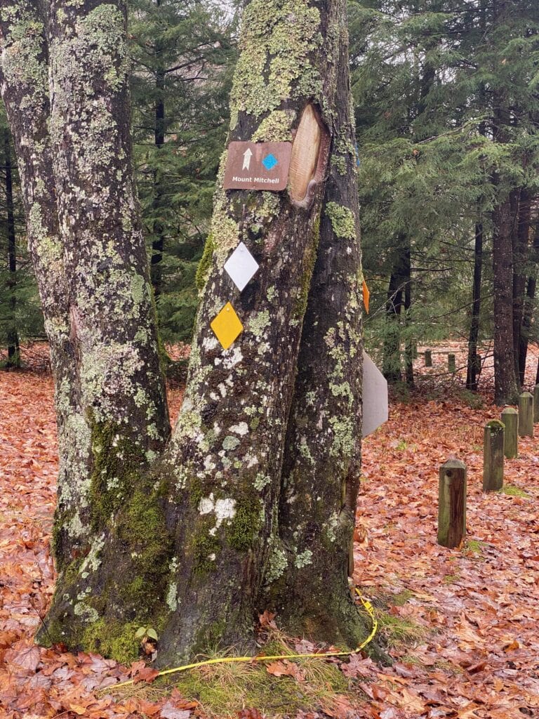
This tree marks the start of the trail. Follow the blue diamonds the whole way through.
But first, get an early morning start and head to the Black Mountain Campground.
When I arrived, it was about 12 p.m. I recommend you start at least two hours earlier than this.
Go into the campground area. It’s across from the parking lot. If you do this hike during the off-season, November through April, the campground will be closed, so you’ll get to feel like you’re breaking and entering–at least I did! But it’s open to hikers–simply cross the barricade.
Once inside the campground, I had a difficult time finding the trail. Somehow I walked right past it and wandered around the deserted campground for what felt like forever.
I’m not the only one who made that mistake either–when I turned around, I met a young couple who’d done the same thing, the same couple I mentioned earlier who were carrying only their water bottles. I didn’t realize they were looking for the Mount Mitchell trailhead too because they weren’t carrying anything else!
The Mount Mitchell Trail is right by the Briar Bottom Bike Trail. Go to your left and you’ll see signs for the biking trail. You’ll walk alongside the South Toe River at the very start, so just follow the river to your left and you’ll see the trailhead.
That was the only part of the trail I had trouble with, nagivation-wise. Everything else was well-marked and easy to follow.
The climb starts immediately
Once you’re on the trail, the steep climb starts right away. To me, it felt steeper than it looked.
I took my sweet time on this hike. It seemed like every hiker passed by me in the first two miles.
But it’s not a race. It’s a matter of putting one foot in front of the other and going forward.
To Higgins Bald…or not to Higgins Bald
At around 2 miles on the trail, there’s an option to take a side trail called Higgins Bald. For those who want a little more hiking, go ahead. Higgins Bald will join back with the Mount Mitchell trail and will add about a quarter of a mile to the journey. I opted not to do extra work.
Plus I’ve heard it’s overgrown anyway, so no views.
And that couple I met who’d also gone the wrong way earlier? I caught up with them here. And they were in the middle of an argument:
“I’ll do whatever you want to do,” the guy said with an exasperated tone. “That way is four miles and the other way is two—if you want to do four, we’ll do four.” He pointed at the mile marker post.
What he didn’t realize was that the two miles on the post was referring to the way we’d just come from. Meaning we had come two miles, so it was two miles back down. He thought the two miles was for Higgins Bald and would lead to the summit.
If only life were ever that easy.
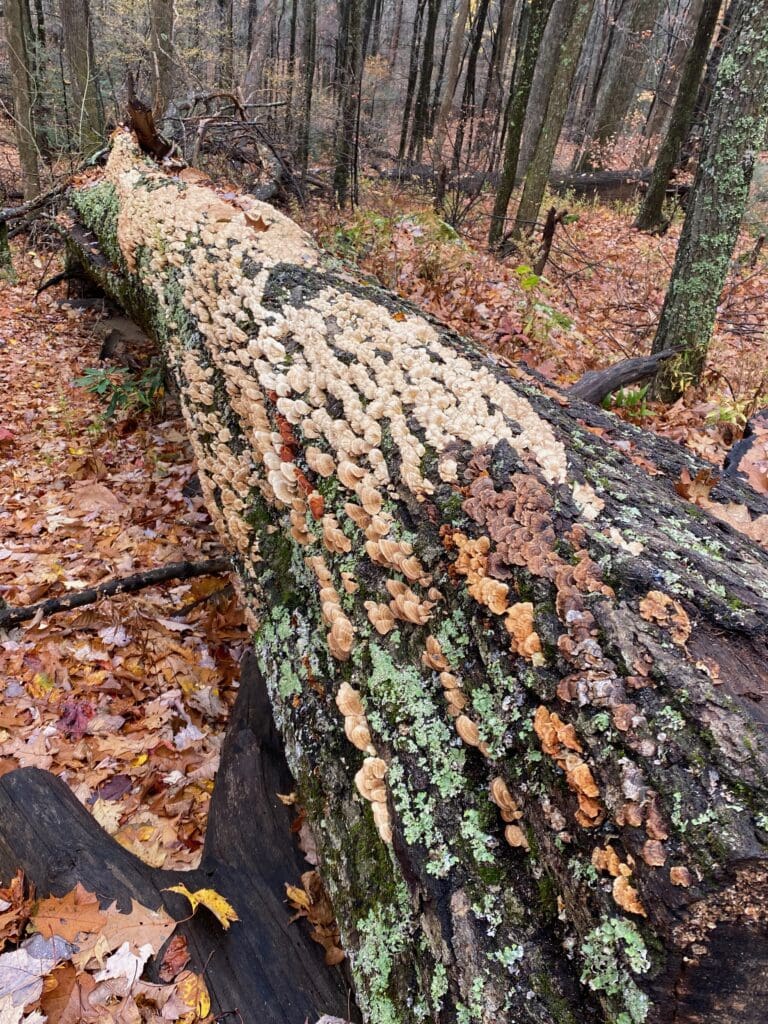
Here are a few photos from the first half of the trail. The upside to the gloomy day is that it made for good lighting.
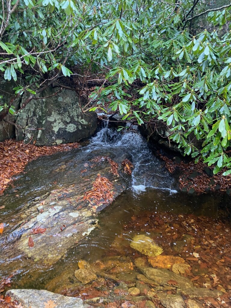
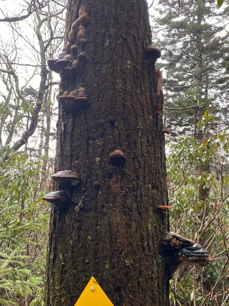
Halfway!
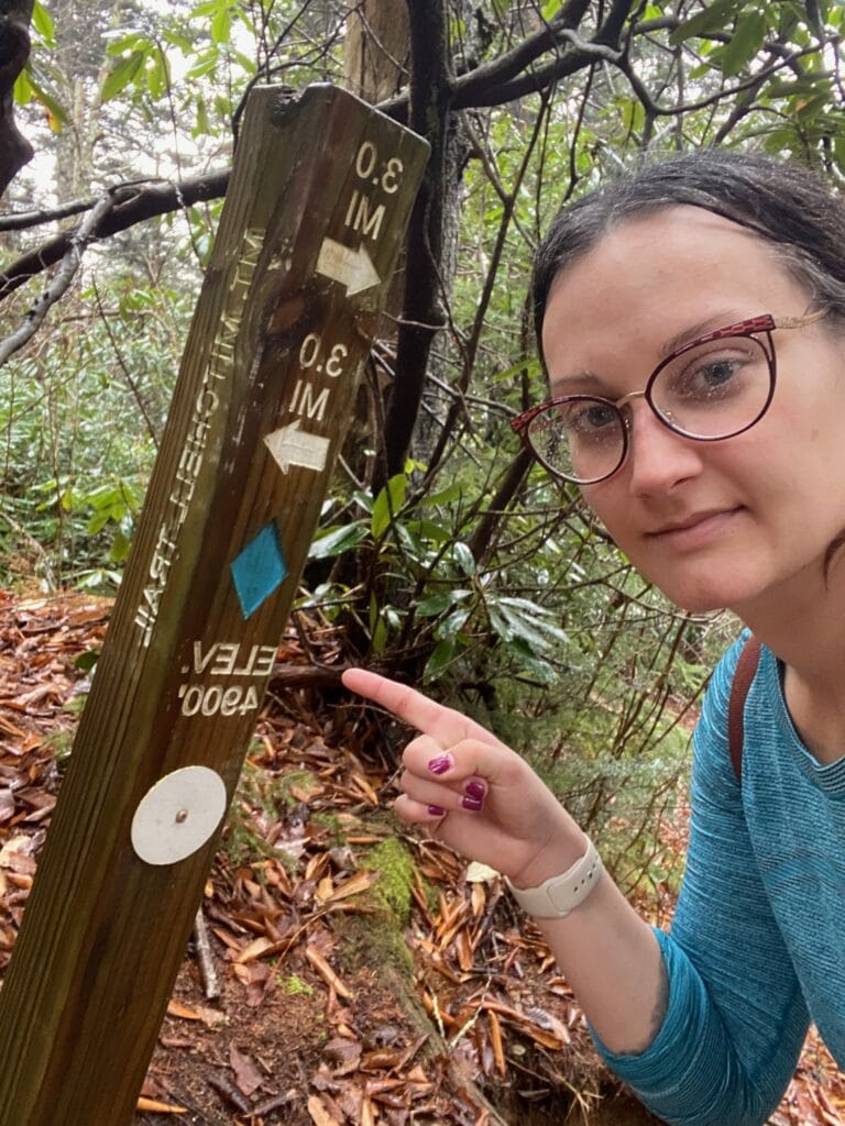
For about two minutes, I was excited to reach the halfway point. Then I remembered that considering I had to hike back down, I was only a quarter of the way finished. D’oh!
It was also about here that the rain started to really pour. It had been drizzling on me, but I got soaked here. In my What to Pack section earlier, I mentioned a poncho. Guess who forgot to bring one?
I had on a quick-drying top, but after awhile it soaked through. A lady I met commented on how dry I looked. Ha!
Rock hop across the waterfall
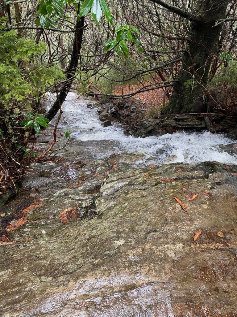
Later on, I got a great view of a gorgeous waterfall. It could have been the one from which Elisha Mitchell fell to his death and thus Mount Mitchell was named. I do not know. On my way up, I rock hopped over the water just fine. On the way down, however…we’ll get to that.
Into the forest
“This is not self care. This is the opposite of self care." --Me, about four miles in.
A good chunk of the hike is in U.S. National Forest territory. Later on, I learned that I passed through Applachian spruce-firs, which grow only in the southeastern U.S. To tell you the truth, I didn’t pay much attention to the trees and plant life–I was doing my best just to keep going in the rain.
Rock scrambles near the end
Toward the end of the trail, it got rocky. I walked and crawled on sheets of rock for long stretches.
Then I was out of the woods. Or the U.S. Forest, at least. I finally entered the NC State Park portion of the hike. It was here that I started to see people who’d driven to the summit and decided to hike down a bit.
Made it to the top!
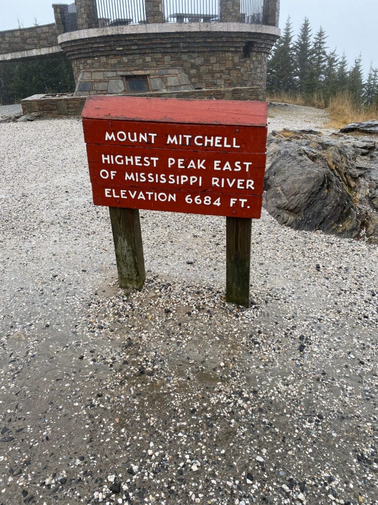
And then…the top! Well, not the tip-top just yet. That was still a tiny quarter-mile climb ahead. But the end of the Mount Mitchell trail. A concession stand and restrooms were there but were closed for the season. The rain was still coming down steadily.
The arguing couple from earlier were resting under an awning. They asked me if I had a car up there, I said no and wished them luck. The guy told me that it was pretty at the summit.
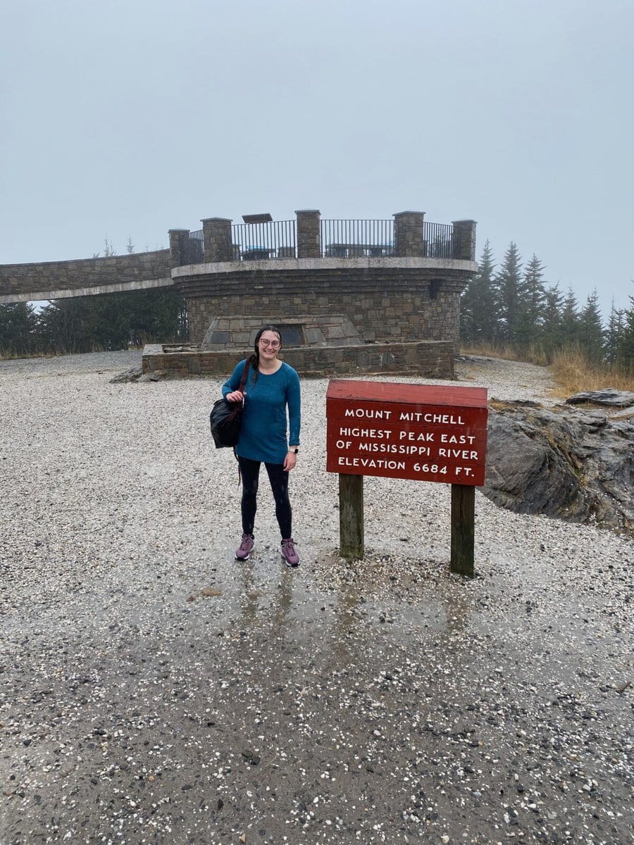
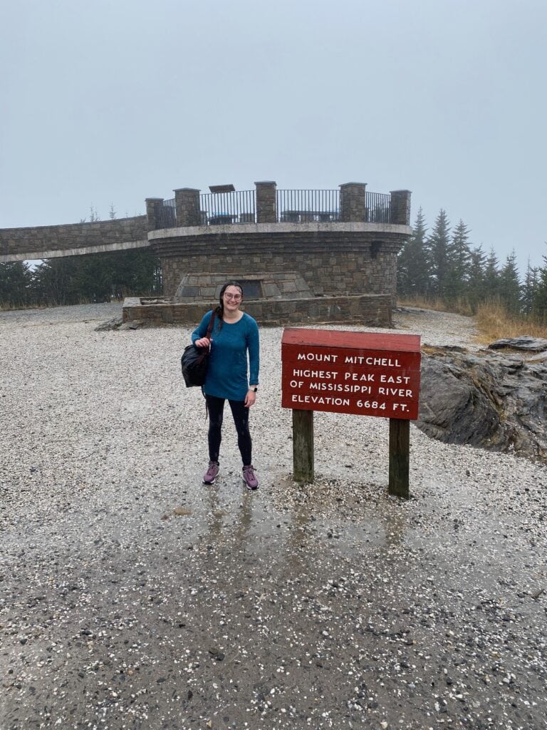
But when I got up to the top, I couldn’t see much of anything. I stood and looked around in all directions for a bit, but it was too cloudy.
A reminder–you don’t do this hike for the mountain views, you do it for the challenge and to say you did it.
With the rain, there weren’t many people who’d driven up that day, so I had the whole summit to myself for a little while. Well, I guess Dr. Elisha Mitchell was there too–he’s buried at the top.
A nice family joined me later and took the above photo of me. They’d driven up, were mostly dry, and had heavy jackets on. I felt like a feral woman who’d just joined society.
The hike back down
After marveling at the fog for awhile and basking in my victory (or rather, shivering in it), it was time to climb back down.
When I got back to the concession stand area, the couple were gone–I assume they caught a ride with someone. I wished I’d caught a ride with them, and I wouldn’t have been picky either. Just put me in trunk.
But at least I got the full experience, right?
I found a secluded area, stripped out of my soaked-through shirt, and put on my extra shirt and hoodie and changed my socks. It was still raining, but it had gotten lighter. I stuffed the wet clothes in my bag, but I didn’t have any plastic bags (I told you to bring them!), so my other stuff got wet.
I brought a hat and some gloves too, but the only gloves I had were leather, and I couldn’t get them over my wet hands. So I hiked down with my hands halfway in the gloves.
People were still going up as I descended. I stopped and chatted with the last group I saw, which was about two and a half miles or so back down. They were doing the trail as a sunset hike and had a car at the top. A smart idea!
Bring bandaids
With the steady rainfall, the waterfall was more difficult to cross on the way back down, but I came up with a perfect plan. I saw a few rocks in a row that I could leap to, so I did, and…
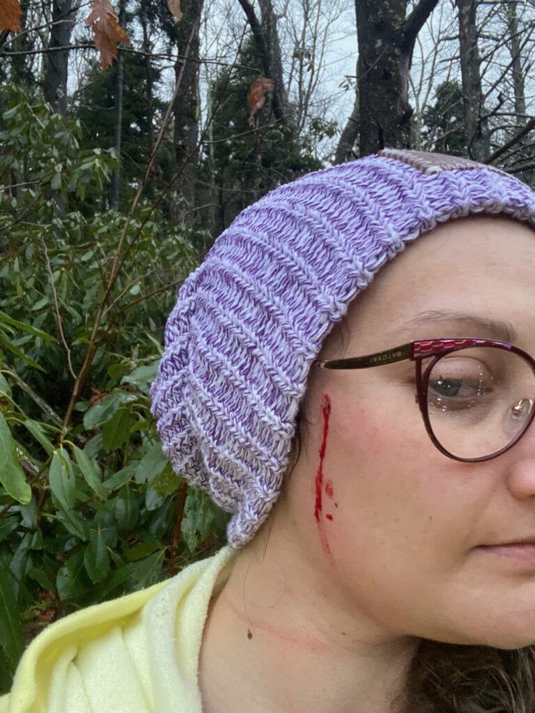
Ouch.
That happened. Important hiking tip: Look up. Looking down is necessary–don’t get me wrong, but don’t forget to look up!
Remember I said to bring bandaids earlier? Now you know why. I did not have bandaids, so I dug through my bag and found an old Covid mask (good thing I didn’t clean out my bag). I used it to stop the bleeding.
I didn’t see the branch that I ran into because I was so focused on the rocks. I could have poked my eye out, or more likely, sent my glasses hurtling over the waterfall.
My feet got soaked. I never made it to the rocks I’d picked out. So I stopped to change my socks, but my extra socks were wet, too, from my wet clothes I’d stuffed in my bag earlier. Of course they were.
An easy descent
After that incident, the descent got easier. The rain finally stopped. There were roots and wet leaves covering them, but somehow I managed not to trip and fall. It got dark on me for the last two miles of the trail. I had a flashlight, so it wasn’t the worst, but I would not recommend this hike in the dark.
Even at night, though, the trail was easy to follow. It’s clearly marked.
I did not keep track of my time up and time down separately. The rain and the darkness didn’t help my time. The whole hike took me eight hours.

Back in the car after all was said and done. My car was the last one in the lot.
The takeaway
If you want to hike Mount Mitchell as a beginner, it’s tough, but doable.
I found the whole journey to be metaphorical. Let me explain…
The trail itself was well-marked and clear. All I had to do was climb it. Even though the hike was difficult at times, and there were a few mishaps, I pressed onward and upward.
So the lesson I learned was to lay the groundwork. And that goes for all areas of life. Take the class, write the outline, make the plans. In other words, build the foundation for your goals. After that, it’s just a matter of putting one foot in front of the other, over and over, until you’ve reached the top.
Are you thinking of hiking Mount Mitchell or doing another challenging hike? Comment below! I’d love to hear your thoughts.
Like this post? Pin it for later
More reading
Planning a road trip? Check out other Southeastern U.S. Destinations.

The Comments
Shannon W.
I was a tourist that drove to the top. I’d love to go back someday and do the whole hike!
8 Reasons Why You Should Visit Asheville This Fall - Outsider Odyssey
[…] Now we’re talking. Even better than the driving is the hiking. Get out and stretch your legs on shorter trails such as Craggy Gardens, or plan an entire day doing “the big one” Mount Mitchell-read all about my experience here. […]
Anja
This looks like a well organized, safe hike. Thank you for sharing!
Shaf
ouch!!! but ok ure right thank God it was your face and not your eye , that would have been a disaster 😵 pls keep safe the next time you head out!
Maddie
I’ve done a few hikes in Asheville but definitely not this one! So impressive you did all this in the rain.
Lucia
Wow, commendable job hiking Mount Mitchell, especially being an absolute beginner! I’d definitely want to hike as well following your tips.
Kelley Smith
I’ll be 60 years young when I hike Mount Mitchell next spring(2025). Your article was VERY helpful as I’m a beginner, too. Have already started training by walking a VERY steep hill to build my endurance. Will add a weighted backpack later. Noted all the ‘don’t forget to bring’ items. Also, your good nature and humor have taken the stress out of it for me. Thank you! I can’t wait!
Natalie Rushing
Kelley SmithSo happy to hear about your plan to hike Mount Mitchell, Kelley–you’ll do great! I’ll be rooting for you. Glad my post was helpful for you, and let me know how it goes!
Brian
Great write-up! I’m planning to hike Mt Mitchell in the fall of 2025. I’m probably still a beginner, but have already started training. I want to be prepared!
Natalie Rushing
BrianAwesome! Let me know how it goes!